RESEARCH & DEVELOPMENT
RESEARCH AND DEVELOPMENT
bring 3D surveyed TLS and DP architectural elements, to Project Design Environment.
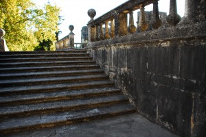
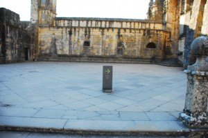
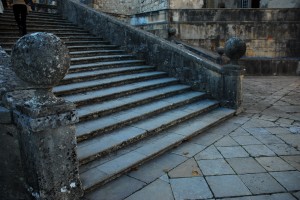
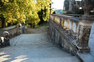
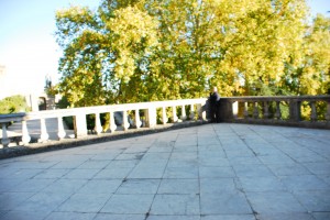
Acquire 3d through point clouds reading of elements, both from photography scan and laser scan. The combinations of both sources of information lead to the complete points cloud working material file.
The photographic survey process, also known as digital photogrammetry (DP), was processed to 3d cloud points by direct use of the VSFM software, which combined images, generated viewpoints and found out matches in between these images in order to build the tridimensional points cloud file. Were also used 2 points clouds files from laser scan survey. Process known as Terrestrial Laser Scan (TLS)
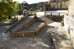
Tomar, Convento de Cristo Starways and Yard below,
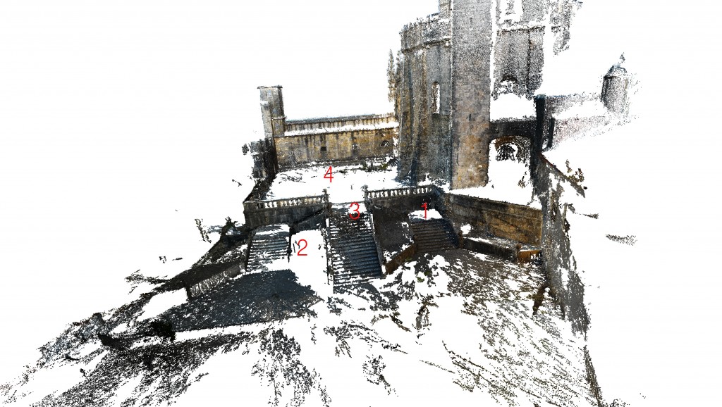
digital photogrammetry during edition
It was used a process named Clouds Align to match Clouds in the necessary way to be worked from then on.
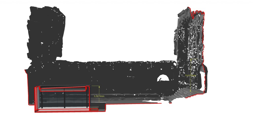
It was given to a main Points “mesh” the true dimensions, i.e. projected from the real dimensions, and to this mesh were aligned by means of tridimensional rotation and scale the info which was anchored and by that way completed the scene as can be seen in the image bellow

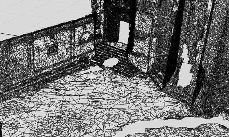
a zone volumetry was selected to be turned vectorial, i.e., converted from point clouds to wired surfaced meshes.
It has to be noticed that the information used on Architectural design environment, despite of the file type in which it can be contained, is majorly vectorial both bi-dimensional and/or tridimensional. For this reason it is absolutely imperative to reject points clouds in the process and by all means available try to achieve workable meshes, which can be merged, welded and or intersected with any architectural element designed for this purpose, or otherwise.
The selected volumetry contained in points clouds is afterwards transformed to wired meshes. This particular step has shown to be quite demanding of hardware resources. In the process reported it was used MeshLab surface reconstruction Poisson.
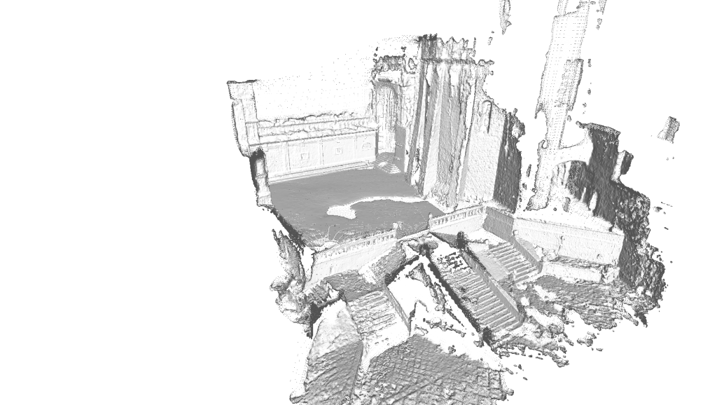
THE WIRED MESH!
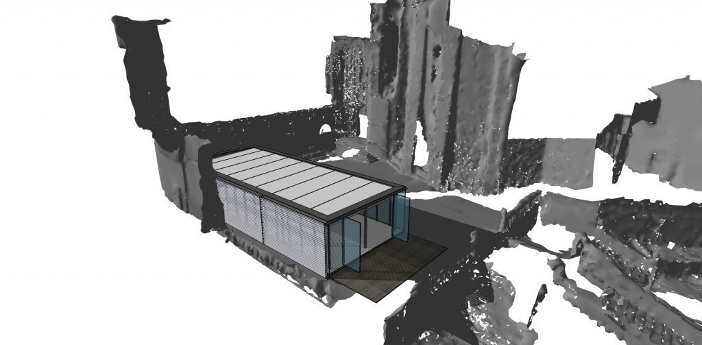
by the possibility of having the 3D information mesh wired, means this will have a physical shape that will produce for an instance shadows. So we can control natural light or input artificial lights as part of the architectural design process. The solar study process will be the first gain as shown in the image below.
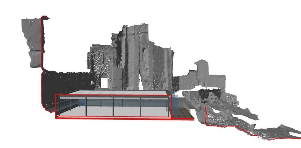
We are able to introduce other architectural elements to our surveyed scene.
Now, the most important is in fact the intersection of the surveyed mesh with the design elements, being able to chop the mesh as much as we want, i.e. weld it, intersect it, work it out.
Get bi-dimensional, tridimensional drawings and images that can be used to for any design purpose, studying or representing in order to get the forms built-up.
The importance of measures and units that can be extracted out of the file. See next page.
There is also a relative importance concerned with 3d printing or digital fabrication, and that can only be obtained from enclosed wired meshes.
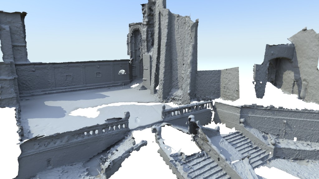
There is still a lot to be done to increase this process solutions and methods. It is possible that after trying to reduce the threshold on VSFM photos reading, there will be less noise on points cloud and therefore the generation of wired meshes will be cleaner.
In the end of the day, the amount of polygons that set up a vertical wall turns to be irrelevant due to the excess of it, I strongly believe it can and has to be adjusted.
This is an enunciated process that will certainly help a lot in the design process, not only for the tools that it brings for surveying but also for accuracy and the time saving effect in site and in studio.
